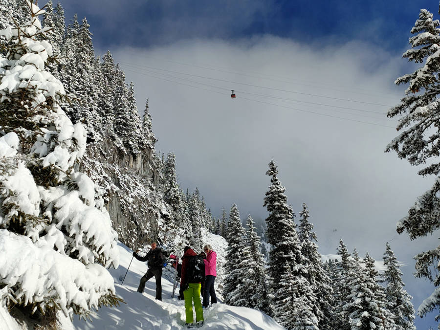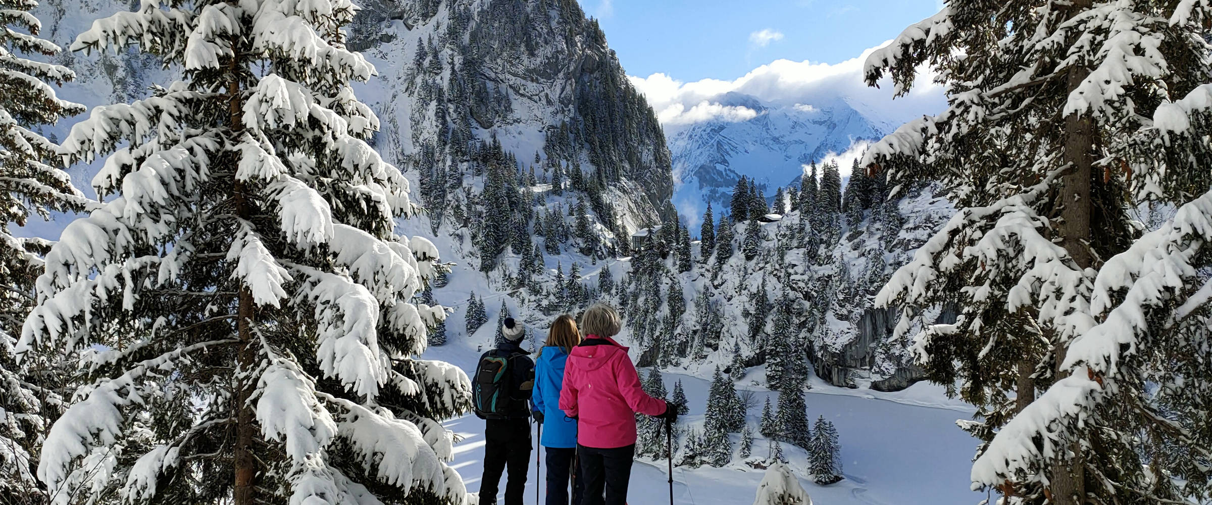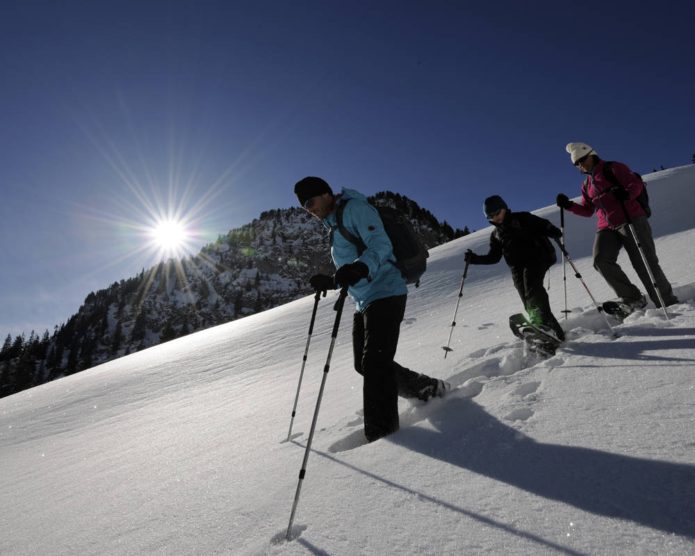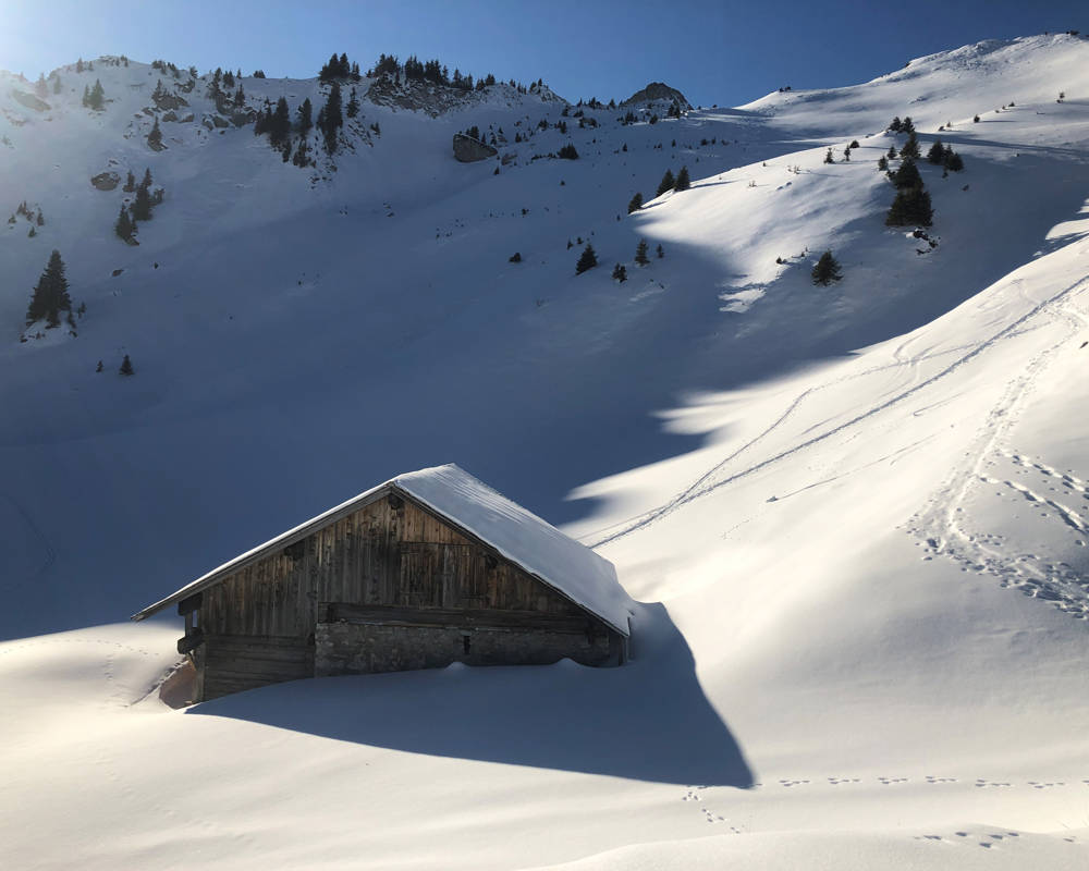
The Stockhorn area has four different snowshoe trails in various degrees of difficulty. The trails can be considered as single or can be connected as you like to make a big snowshoe tour out of it.
If you do not have snowshoes yourself, no problem. You can rent snowshoes for a whole day for CHF 25.- at the middle station Chrindi.
Please note the status of the snowshoe trails and the current avalanche danger level.
Wearing avalanche transceiver, avalanche probe and avalanche shovel is recommended!
Signposted trails
Nr. 1 Snowshoe-trail Oberstockenalp
Easy signed-out Snowshoe-trail from the middle station "Chrindi" to "Oberstockenalp" and back.
Via the winter hiking trail, the route leads to the Hinderstockenalp area, where the trail branches off towards Oberstockenalp. In the varied terrain, the trail first climbs in the open, then along the slope through the fir forest to the alpine hut of Oberstockenalp. On the same track it goes back to the starting point.
Status
Offen
Length
3.6 km
Elevation change
+/- 232 m
Hiking time
ca. 1 hour, 30 minutes
Nr. 2 Snowshoe-trail Cheibehorn TOP
Wonderful snowshoe-trail with unique round-view from the middle station "Chrindi" to tzhe top of mount "Cheibehorn" and back.
From the middle station Chrindi the route leads along the winter hiking trail to the Hinderstockenalp area. After the turnoff, following the summer hiking trail to point 1764, the trail turns right there and goes, first steeply up, under the Cheibehorn through a snow valley to the hill at the signpost location with the turnoff towards the Cheibehorn. To this magnificent vantage point, the trail leads over the narrow ridge. At the top, the view sweeps to the Bernese Alps in the south and to the Gantrisch chain in the northwest. We return to Chrindi on the same trail.
Status
Offen
Length
5 km
Elevation change
+/- 442 m
Hiking time
ca. 2 hours
Nr. 3 Snowshoe-trail Cheibehorn ROUND
A varied snowshoe trail with a summit experience and grandiose panoramic view.
From the Chrindi middle station, the route leads along the winter hiking trail to the Hinderstockenalp area, where the actual circular trail begins. First following the summer hiking trail to point 1764, the trail turns right there and follows, first steeply up, under the Cheibehorn through a snow valley to the hill at the signpost location with the turnoff towards Cheibehorn and Oberstockensee. To this magnificent vantage point, the trail leads over the narrow ridge. At the top, the view sweeps to the Bernese Alps in the south and to the Gantrisch chain in the northwest. Back at the junction, the trail descends towards Voderstockenalp, above the huts the trail branches off towards Oberstocken lake, which is reached on a zigzag route down the slope. The winter path towards Oberstockenalp opens up new vistas, as the path leads over the southern part of the lake! From Oberstockenalp we follow the summer trail again through the forest down to Hinderstockenalp and along the mostly frozen Hinderstocken lake the trail leads back to the middle station Chrindi.
Status
Offen
Length
6.7 km
Elevation change
+/- 528 m
Hiking time
ca. 3 hours
Nr. 4 Snowshoe trail to the Chummli
From the middle station of the Stockhorn cable car, the snowshoe trail leads down to Hinterstockensee.
From lake level, the trail turns right across the snow-covered plain with a continuous incline in the direction of Chummli. Always in the direction of travel, the Stockhorn and the summit with the panorama restaurant are in view. Once on the ridge, enjoy the great view towards Thun, Gwatt, Einigen and Lake Thun. The trail continues downhill and slightly eastwards, towards Solhore. Down to the beautiful alpine huts of Oberbärgli, past a slight ridge and back to the ascent track, back to the middle station Chrindi.
Depuis la station intermédiaire du téléphérique Stockhorn, le sentier de raquettes à neige mène à Hinterstockensee. Depuis le niveau du lac, le sentier traverse la plaine enneigée avec une inclinaison continue vers Chummli. Toujours dans le sens de la marche, le Stockhorn et le sommet avec le restaurant panoramique sont en vue. Une fois sur la crête, vous pouvez profiter de la vue magnifique sur Thoune, Gwatt, Einigen et le lac de Thoune. Le sentier continue en descente et légèrement vers l'est, en direction de Solhore. Descente vers les magnifiques refuges alpins d'Oberbärgli, passage d'une légère crête et retour sur la piste d'ascension, retour à la station intermédiaire de Chrindi.
Status
Offen
Length
3 km
Elevation change
+/- 230 m
Hiking time
ca. 1 hour, 15 minutes


